
One connected ecosystem spanning GIS, Smart Address, citizen services, grievance workflows, vehicle tracking, waste operations and command-centre visibility.
A modular architecture that connects field operations, citizens, municipal teams, geospatial data and the command centre.
Unique Smart Address records support household geotagging, better navigation, QR-linked municipal workflows and approval by municipal authorities.
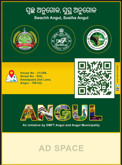

Dedicated mobile experiences for municipality teams and citizens, connected to the same municipal digital platform.
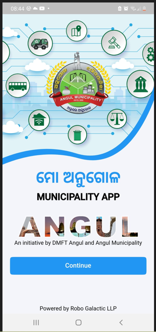
Dedicated staff application for municipal operations.
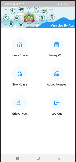
House survey, survey work, new/added houses and grievance access.
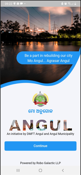
Citizen-facing application for household-linked municipal services.
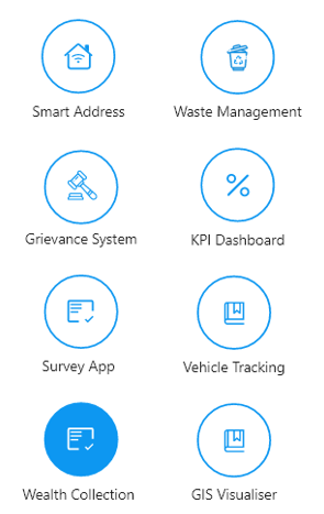
Smart Address, waste management, grievance, KPI dashboard, vehicle tracking and GIS access.
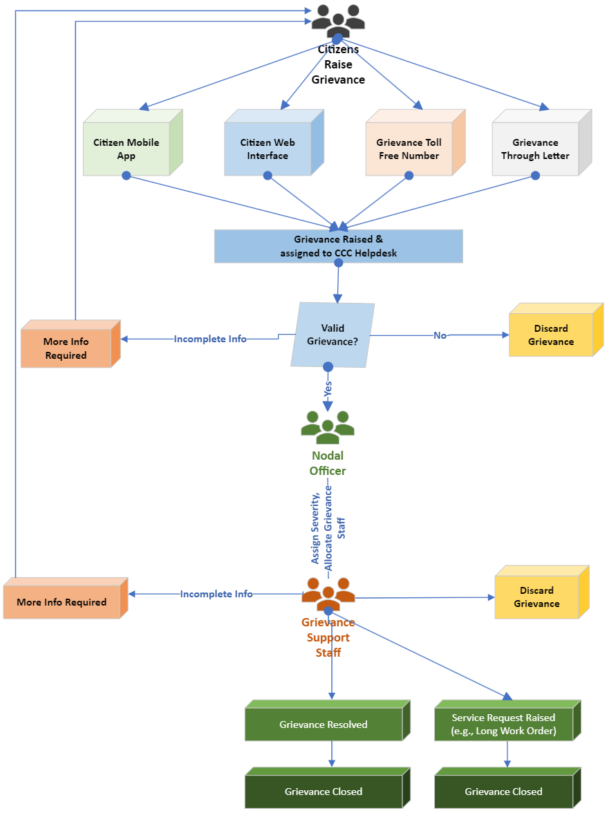
A structured grievance-management workflow supporting citizen intake, validation, assignment, priority handling, updates, escalation, resolution and SLA-driven municipal accountability.
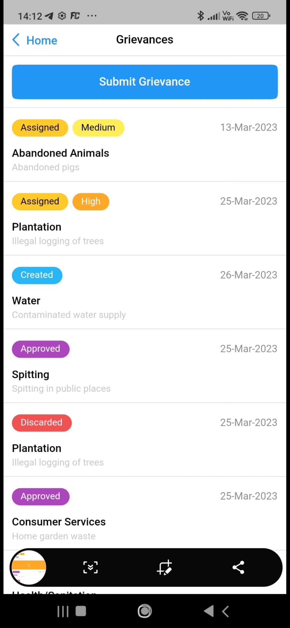
Test/demo cases illustrate workflow states and priority levels including Assigned, Created, Approved, Discarded, Medium and High.
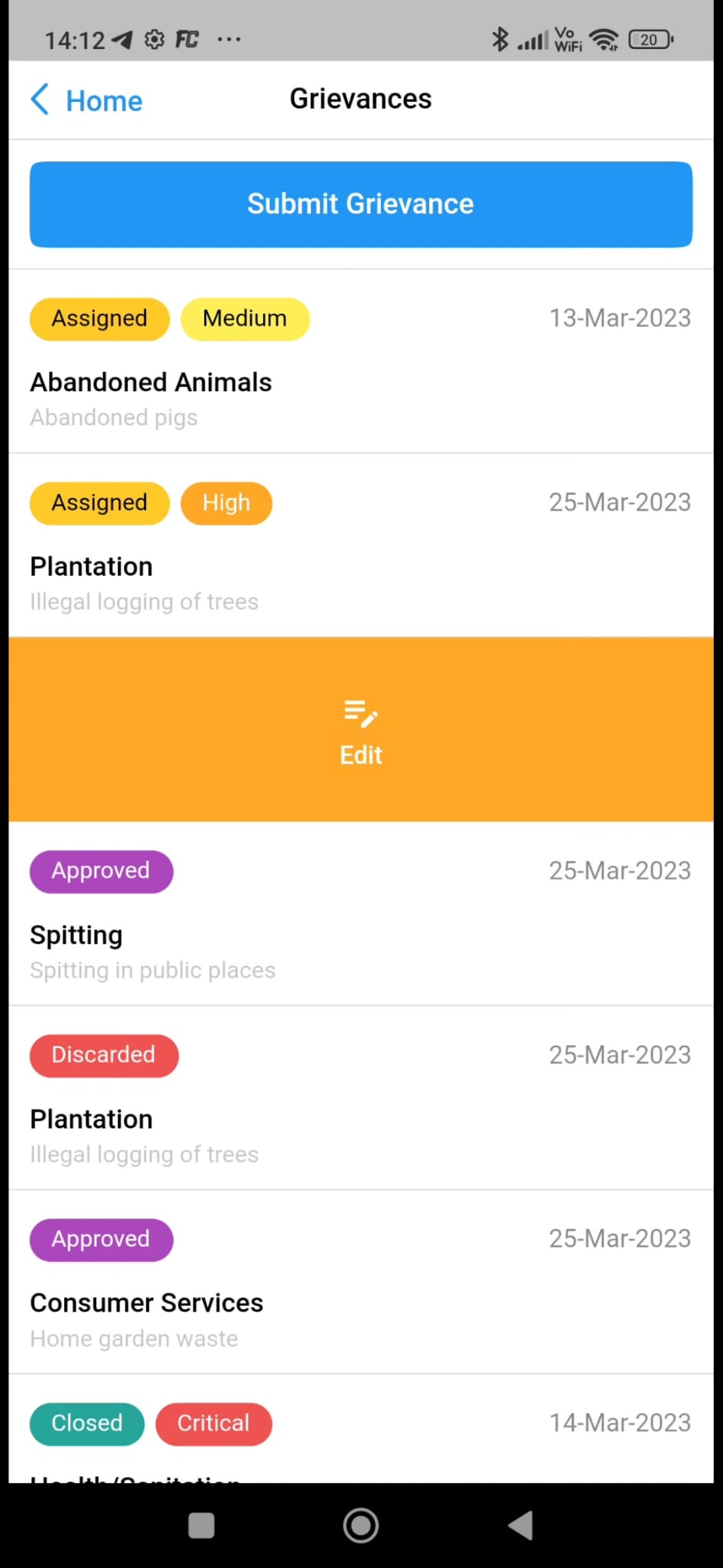
Municipal users can review an assigned grievance and progress it through the authorised operational workflow.
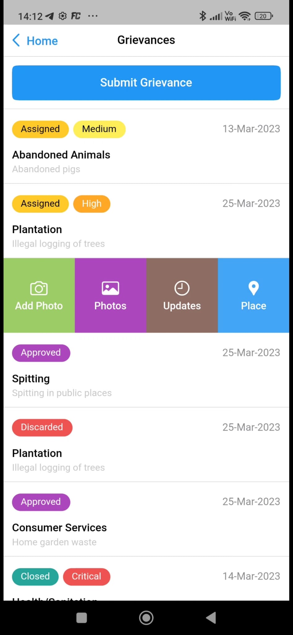
Case handling can include supporting photographs, updates and place/location information for operational follow-up.
Multiple intake channels can feed a common validation and assignment process. Responsible municipal teams can request additional information, act on valid grievances, resolve cases or progress longer-running service requests.
A substantial GIS workstream rather than a simple map viewer.

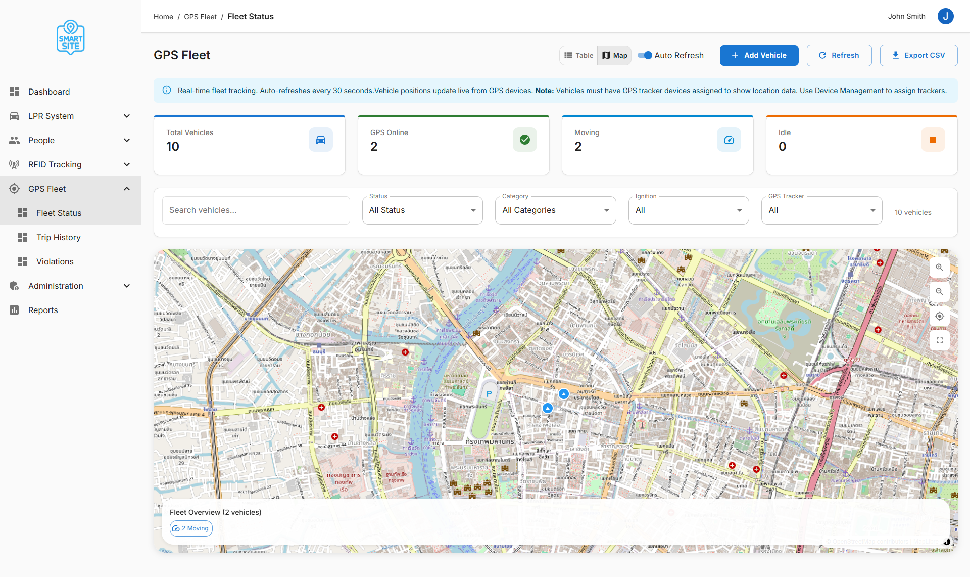
Track all or individual GPS-enabled vehicles in real time, review movement on a map and raise notifications when a vehicle crosses defined city or ward boundaries.
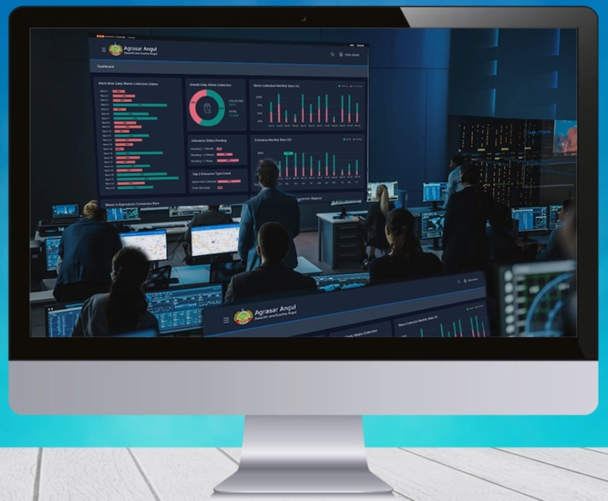
A centralized operational layer bringing together service dashboards, alerts, GIS, fleet monitoring, grievance management, CCTV integration and management reporting.
Household QR scanning and map-based collection status at ward, locality and street level.
Sector creation, staff allocation, daily work status and municipality administration workflows.
Daily, weekly and monthly operational reporting for municipal management.
Optional human-supervised AI can extend the platform with document processing, grievance triage assistance, workflow copilots and data-query support.
Talk to our team to learn how we can support your municipality.